
Category: Travel
My actual travels, those I aspire to, and those of others
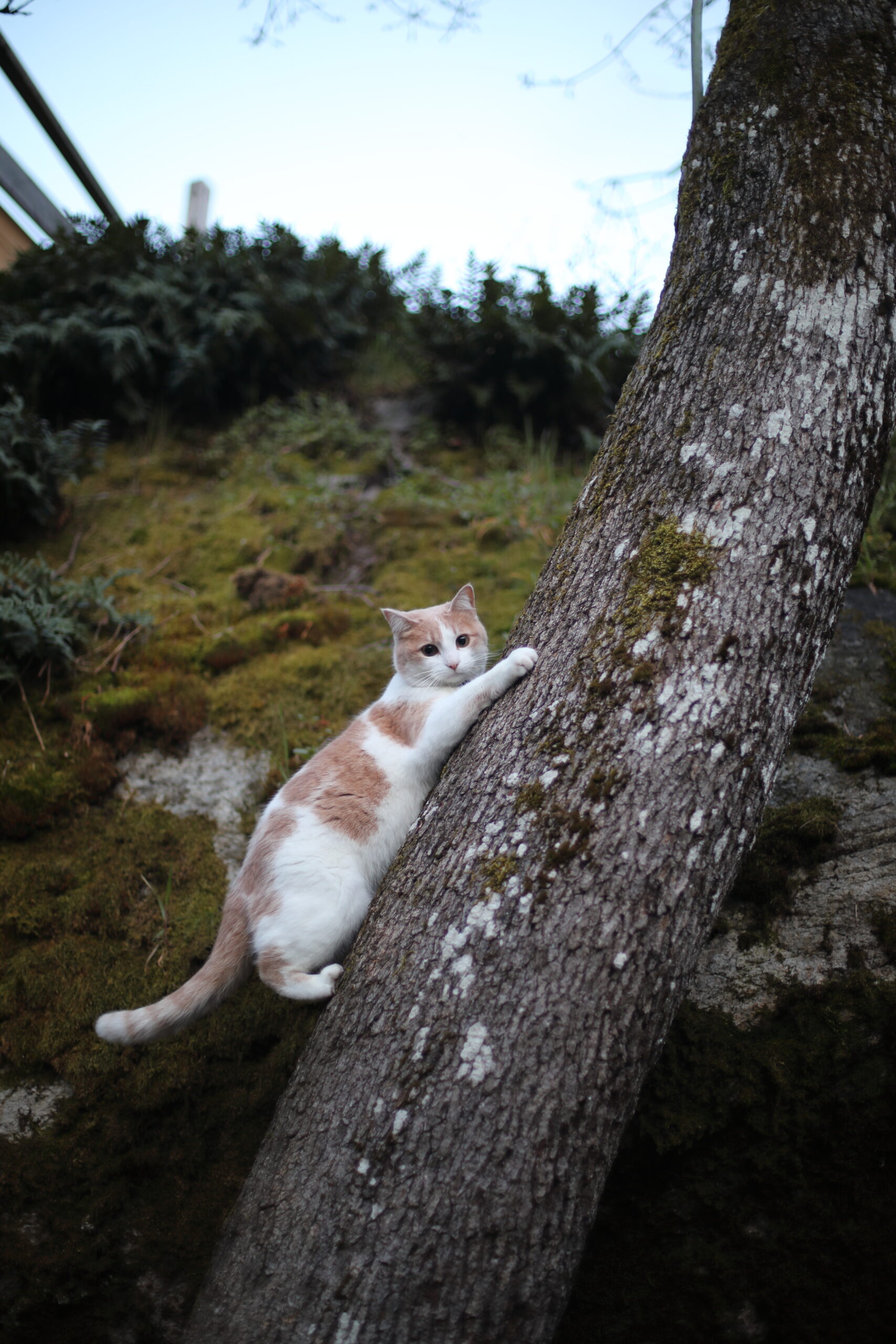
Brothers together
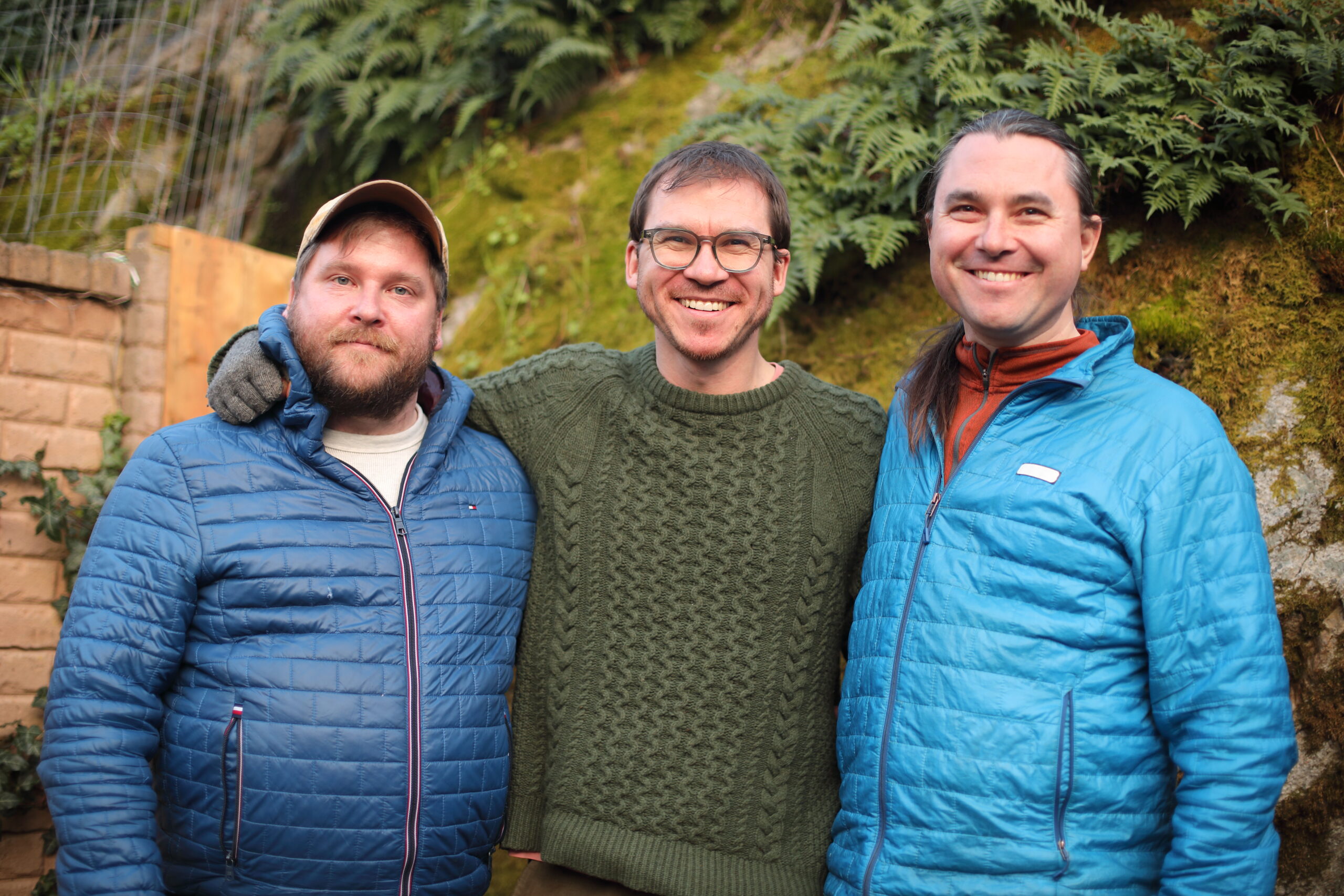
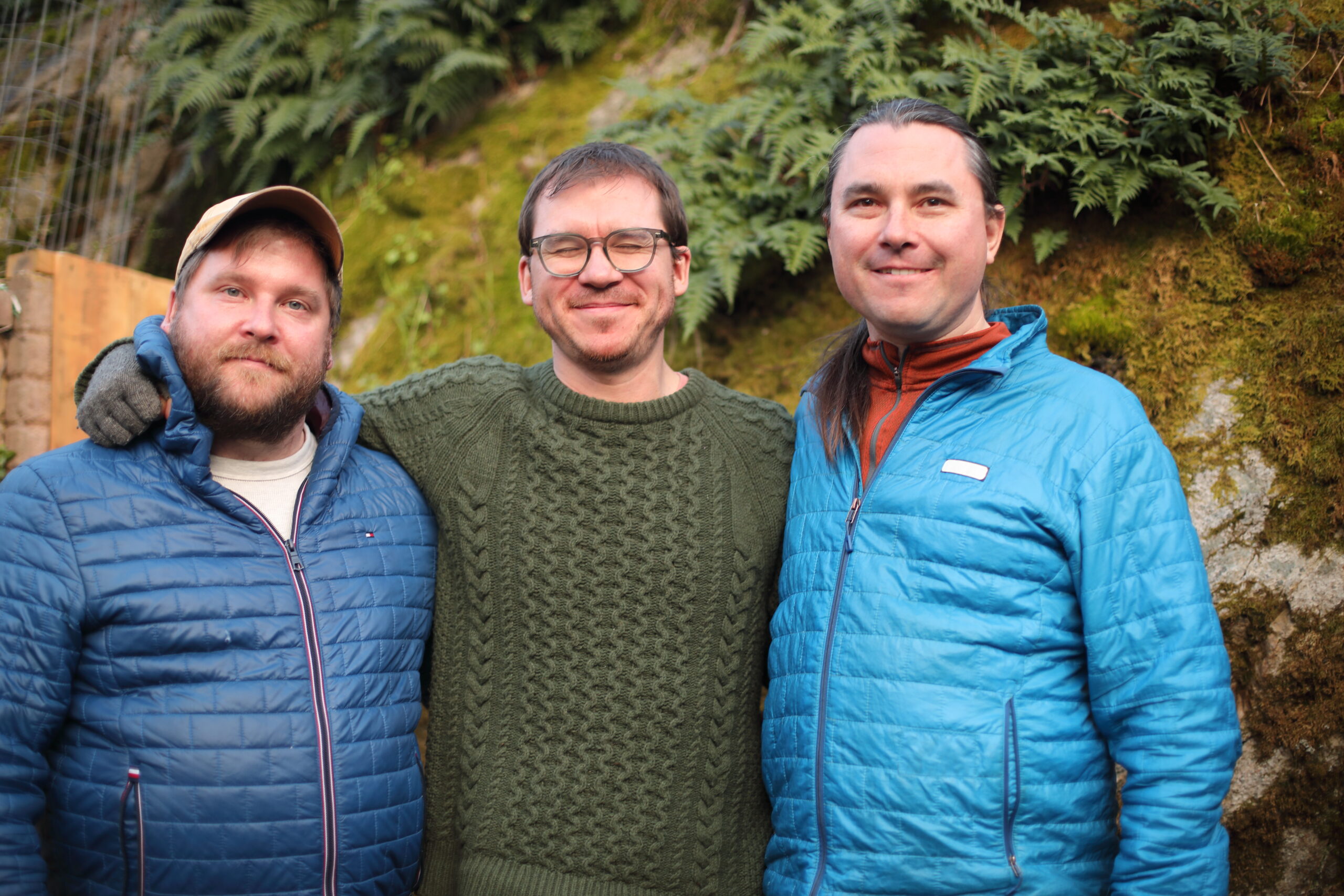
Photos by Alena Prazak
Victoria
Though crazily tired from the daylight savings shift, plus a workweek, plus two straight days awake due to travel, it was heartening to get to Victoria, see my brother Sasha, and explore a few parks and scenic sights with him, my brother Mica, his wife Leigh, and their daughter Mila:


I’m too tired to process any photos from today before sleeping.
Tomorrow is Sasha’s benefit concert.
Sasha’s brain
My youngest brother, Sasha, had a bleed in his brain and is scheduled for surgery in Victoria, BC on March 20th.
My whole family is going to Victoria to support him, including me on Friday.
Remarkably, his friends there have organized a benefit concert for March 15th, to raise money for the physio and speech therapy which he is likely to need after surgery.
He also recently appeared today on a video podcast celebrating Vancouver Island music:
Sasha is a remarkable, caring person who has done a great deal for his students and communities. As frightening as his condition is, it has been impressive and heartening to see his friends bringing such exceptional support.
Photos from the Yellowknife drive
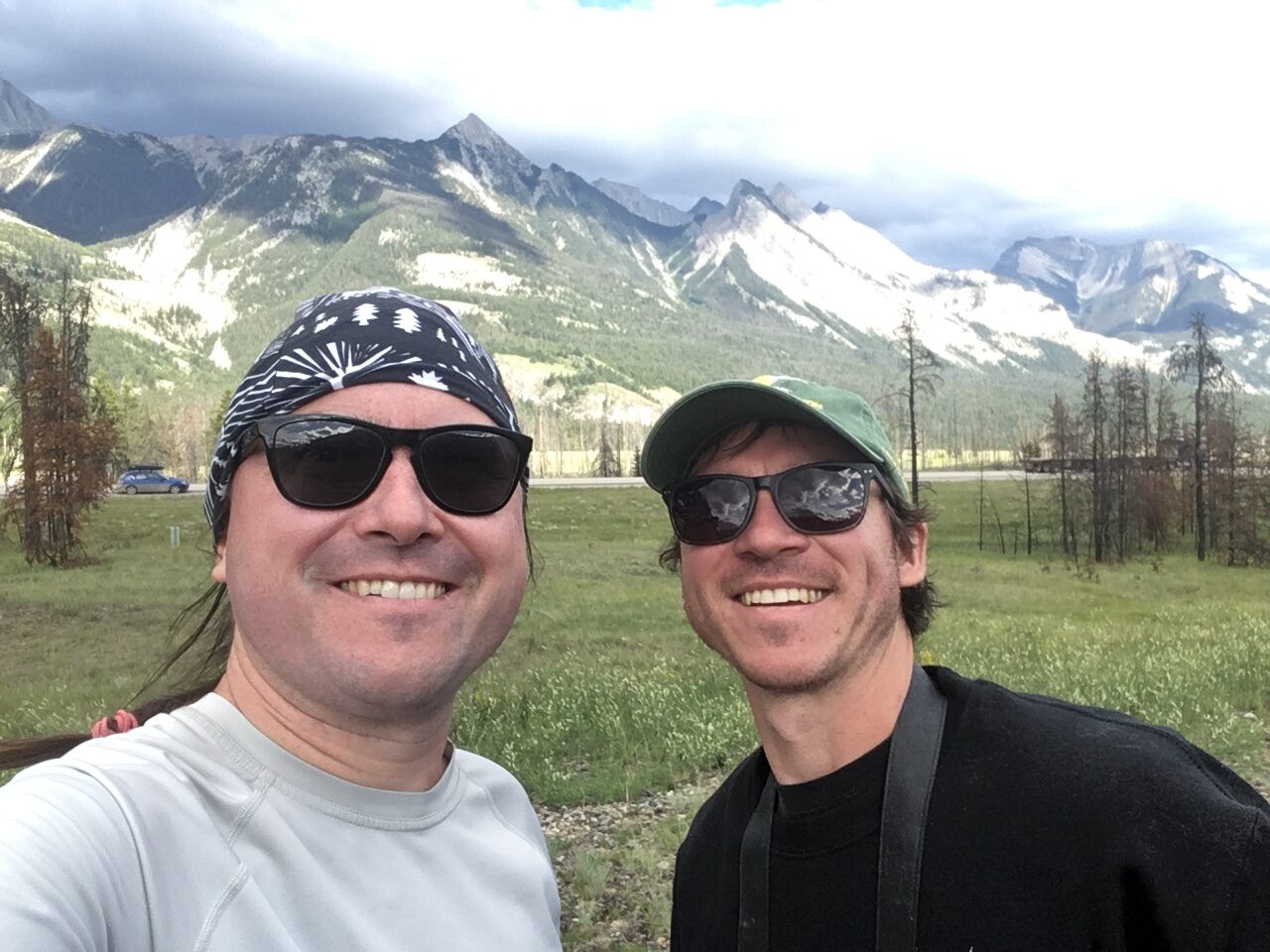
In the summer of 2003, I broke with my long avoidance of air travel so that I could first help my brother Sasha move from Behchokǫ̀, in the Northwest Territories near Yellowknife, back to Victoria, BC.
We did the drive through a vast terrain of wildfires in three intensive days, with Sasha driving.
I had been meaning for ages to get our photos processed, but because of the financial pain of the long PhD all my computers and software are quite obselete and were unable to handle the RAW files from his specific Fuji camera.
I have finally figured a workaround using Adobe’s digital negative (DNG) format, so now the photos are up.
Living across the country and avoiding flying, I have seen far too little of my brothers in recent years. I justified it because I thought I was living my values by making lifestyle choices to reduce my climate impact, and because I still hoped humanity might be reaching a level of understanding where we take the crisis seriously and respond in a useful and adaptive way.
Now I think I need to do a complete re-evaluation of what sort of political project makes sense. Ever since I first became involved in environmentalism in the 1990s, I had thought that eventually the universal experience of how the world is changing in frightening ways would make people willing to make changes themselves. Now, I really don’t know.
Still, I am immensely grateful that I got to spend this intensive time with Sasha and that our relationship is still deep and meaningful after years of almost exclusively telecommunicating. His integrity and determination are inspirations to me, and I try to draw from his example while trying to live my own life well.
Related:
Exploring Ontario this year
Another sting from our terrible leaders
Our provincial Premier — head of a government which is effectively the political wing of the property development industry — now hopes to get rid of both bike lanes which I use every day: down Yonge Street and along Bloor.
Two October trips
This is going to be a packed month.
For Thanksgiving weekend, I am going on a camping trip with friends to do some trail repair near Temagami.
Then, from the 24th to 27th, I am photographing a diplomatic conference in Montreal.
Both will require a fair bit of packing and preparation, and I expect a week or so of evenings spent post-processing the Montreal photos after work when I return.
Toronto is a bike city
A friend from the Toronto group bike ride community directed me to Jeff Allen’s intringuing and beautiful cartographic work.
One especially striking map – which supports my view that bicycling has become the best and fastest form of transport in Toronto – shows which areas it is faster to reach from Yonge-Bloor by bike than by transit during rush hour:
![]()
You can get a long way! Straight north to York Mills. Southwest past the mouth of the Humber. Southeast past Tommy Thomson Park and into Scarborough.
The map is from 2016, but I would imagine things are worse now with transit underfunding and all the slowdown zones, plus all the streets blocked up by summer construction.
Enjoying Toronto’s Bike Share in the summer
On Wednesday evening, I did a 55km bike ride: east from the U of T campus across the Don into the beaches area, down to the southern tip of Tommy Thomson Park, then along the waterfront for a picnic dinner at a Queen’s Quay grocery store, and up the hill to The Perch.
These animations show the ride in yellow as well as all my previous walks and rides since 2020 in green: