Category: Toronto
Trinity St. Paul churchyard
Royal York
The Toronto Cyclone trail
During the course of my pandemic walks, I started looking for anything green in the map of Toronto and undertaking walks to explore those areas. Eventually, I realized that several green areas can be strung together into an urban walking trail that is mostly separated from cars. I think of it as a bit equivalent to Vancouver’s Seawall as a place to get exercise in a natural surrounding without having to worry about too many cars.
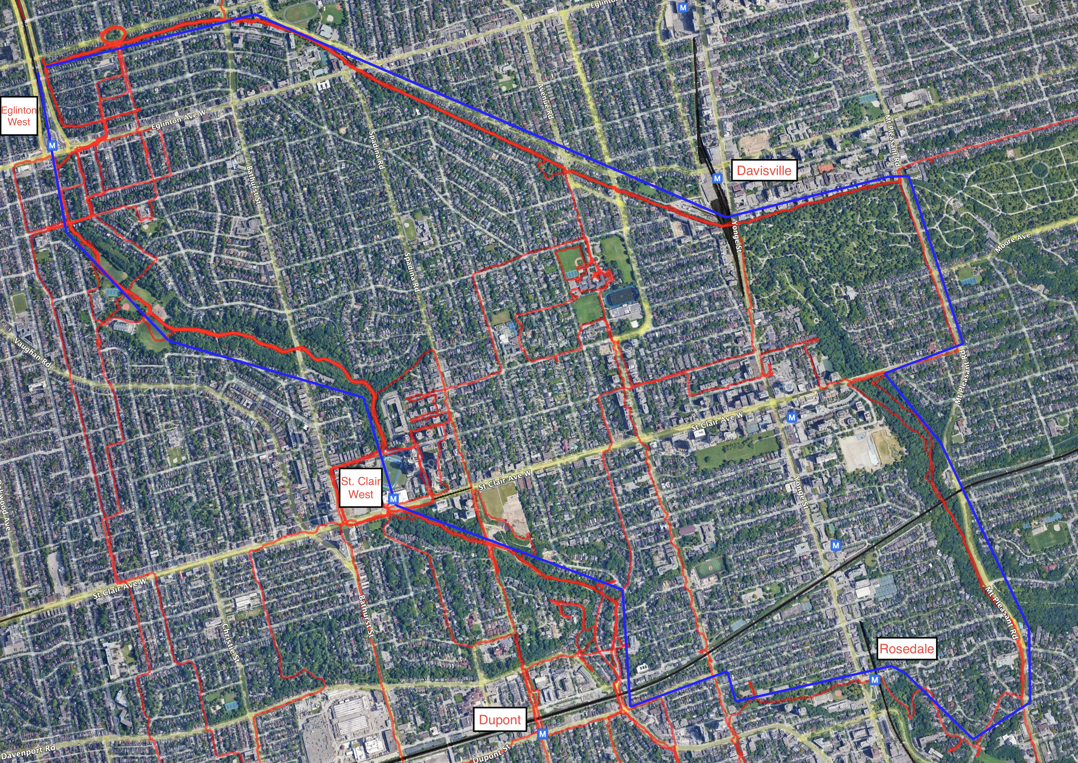
The Cyclone route includes the Beltline trail, the Nordheimer and Cedarvale ravines, and a route through Rosedale and the Mount Pleasant cemetery back to the eastern end of the Beltline. The route is easy to get on and off, as it passes near five subway stations:
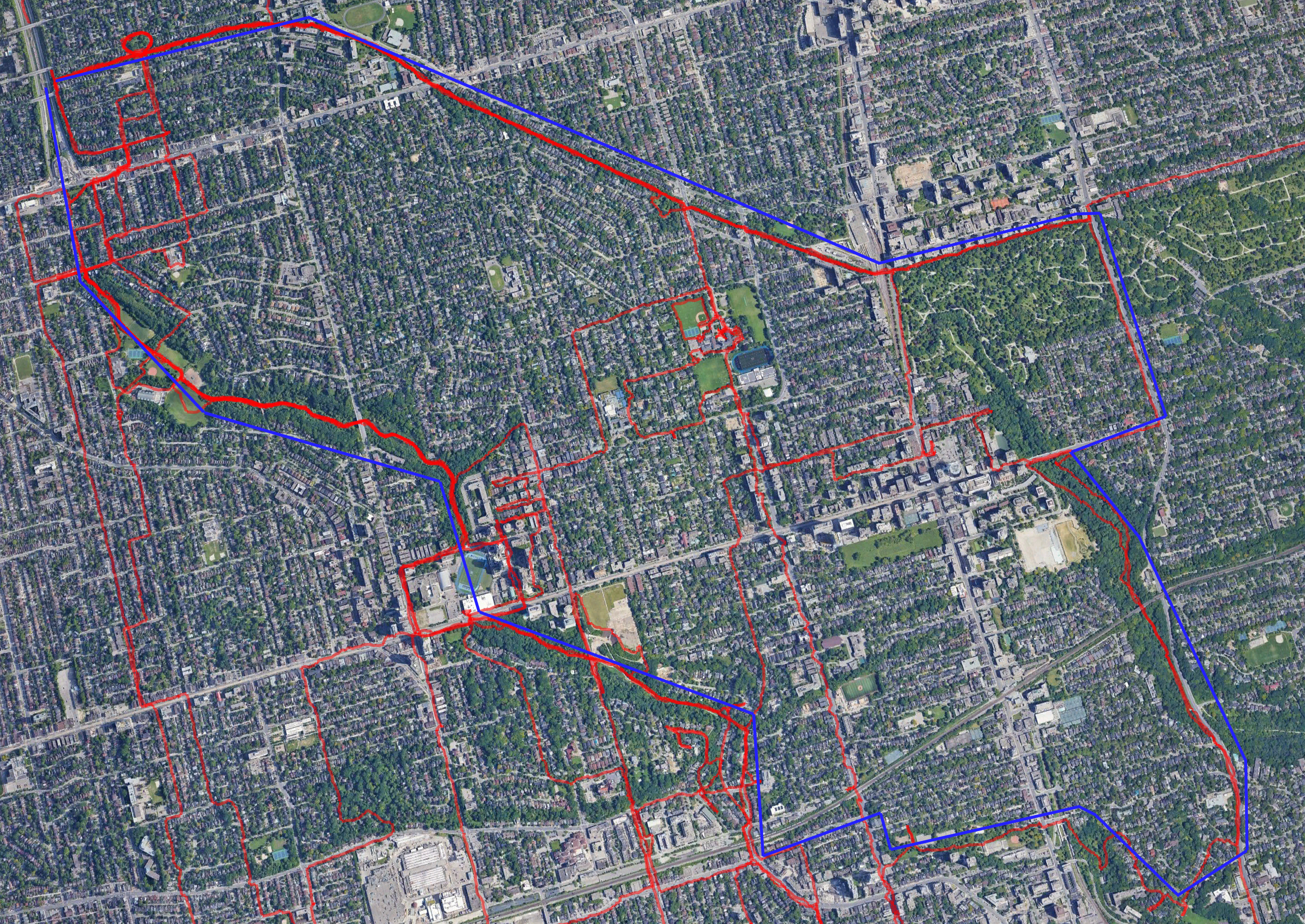
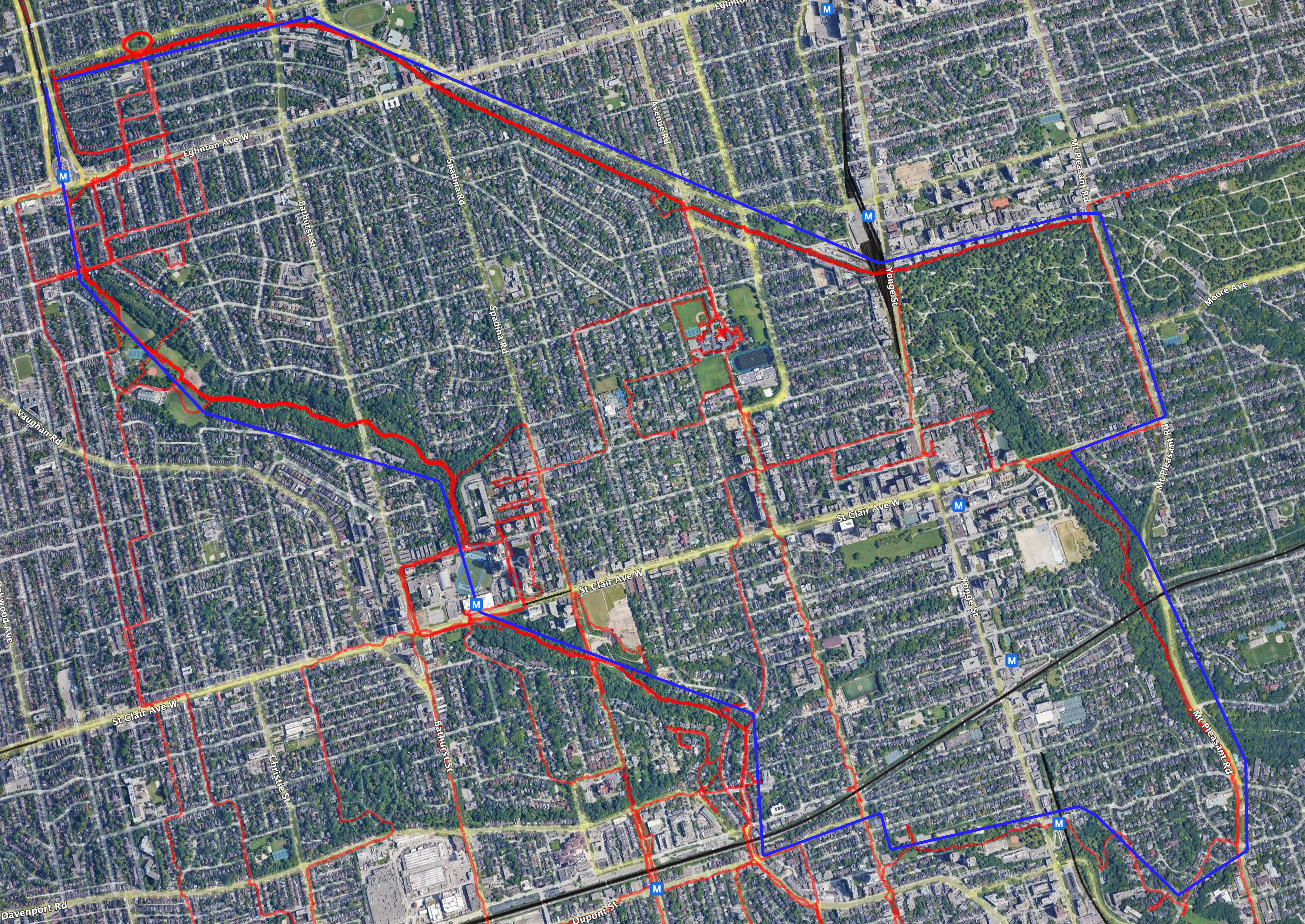
Map: no road labels, road labels, road and subway labels.
The approximate path of the main route is in blue on those maps, and actual tracks of GPS data are red.
I began calling the trail The Cyclone in December 2020 and have shared it with family and friend. I was surprised yesterday to come across a tweet describing much the same route.
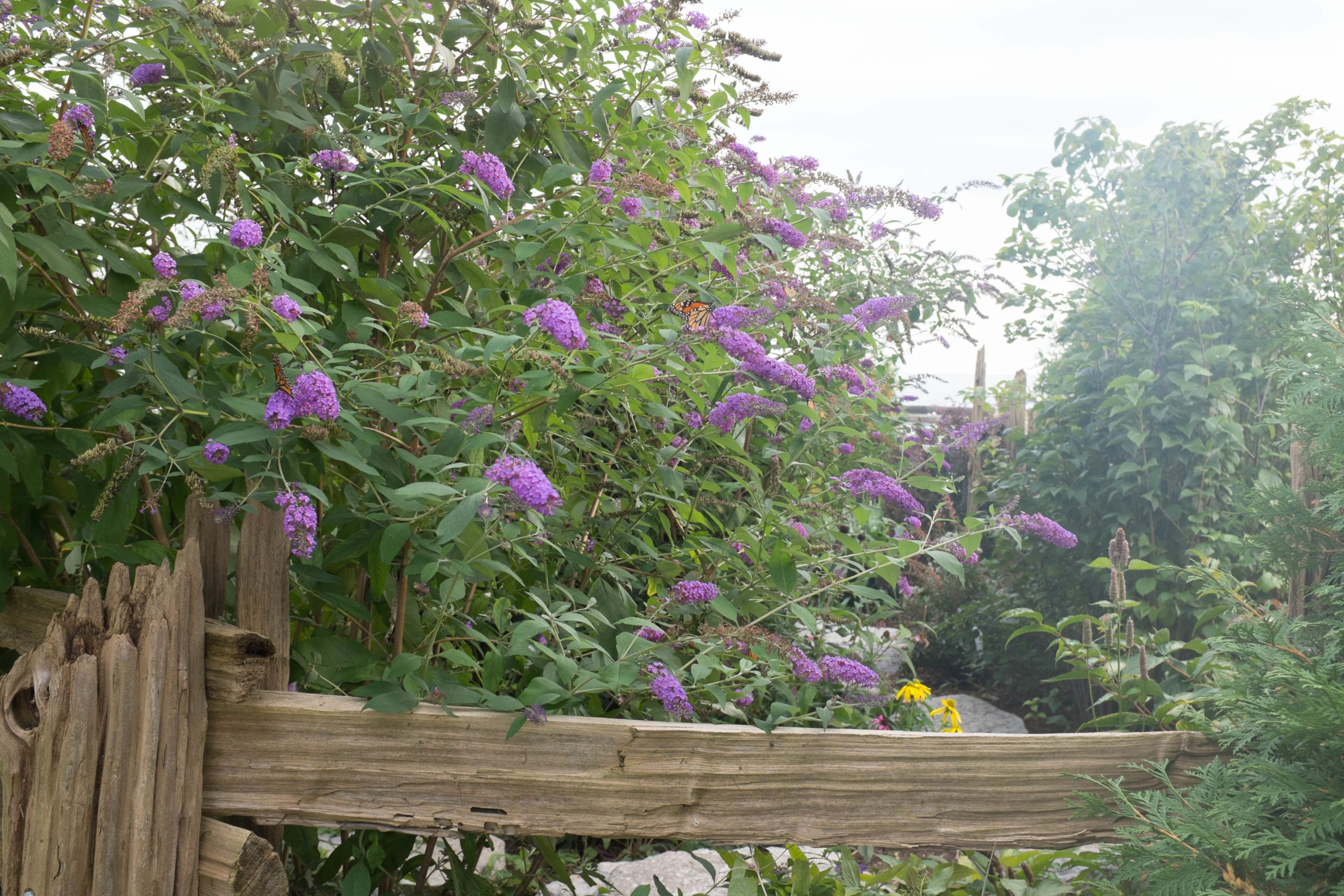
Monarch butterflies on lilacs 2/2
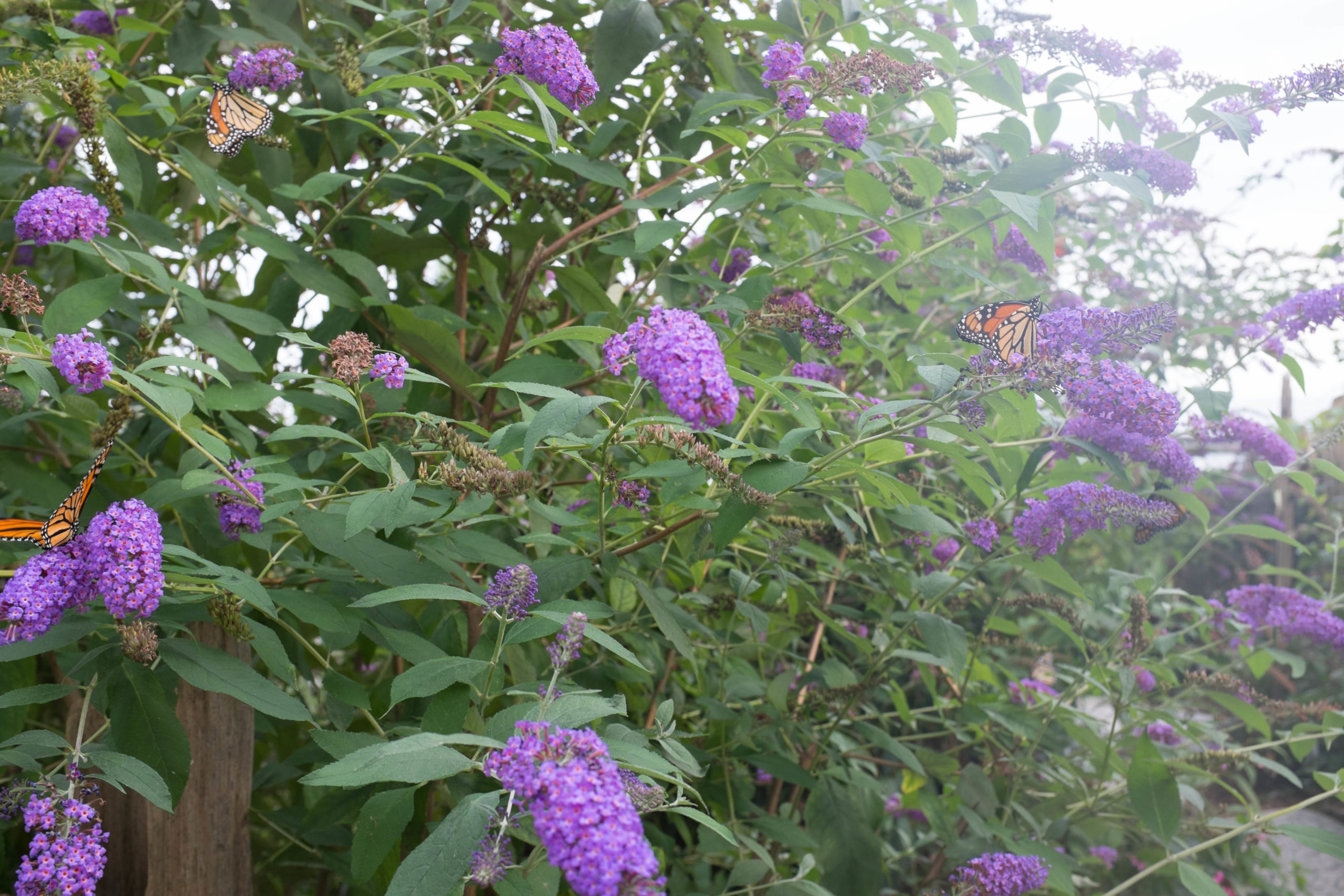
Monarch butterflies on lilacs 1/2
Outdoor chandelier
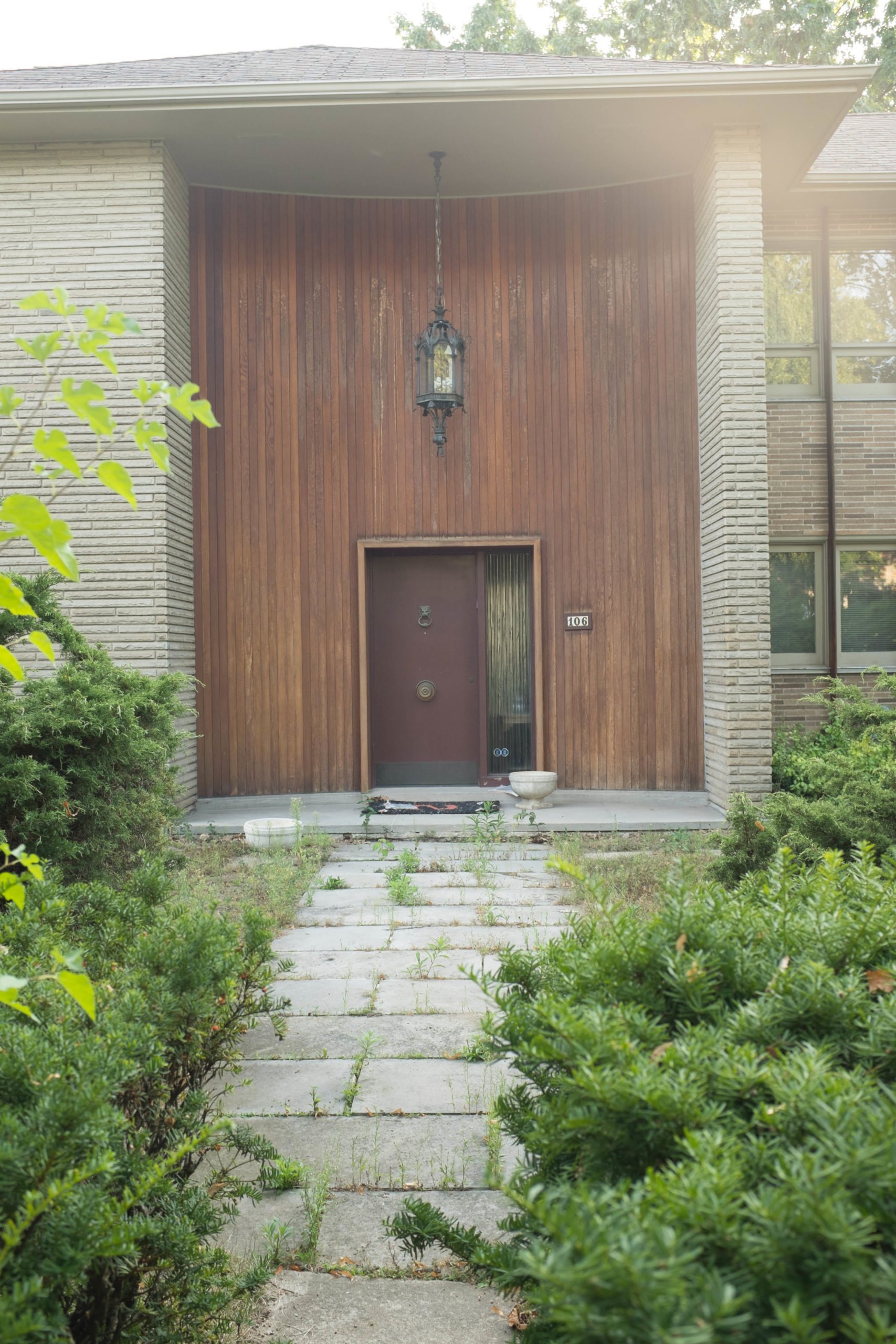
“I don’t have to be part of any biosphere I don’t want to”

Heaped brick
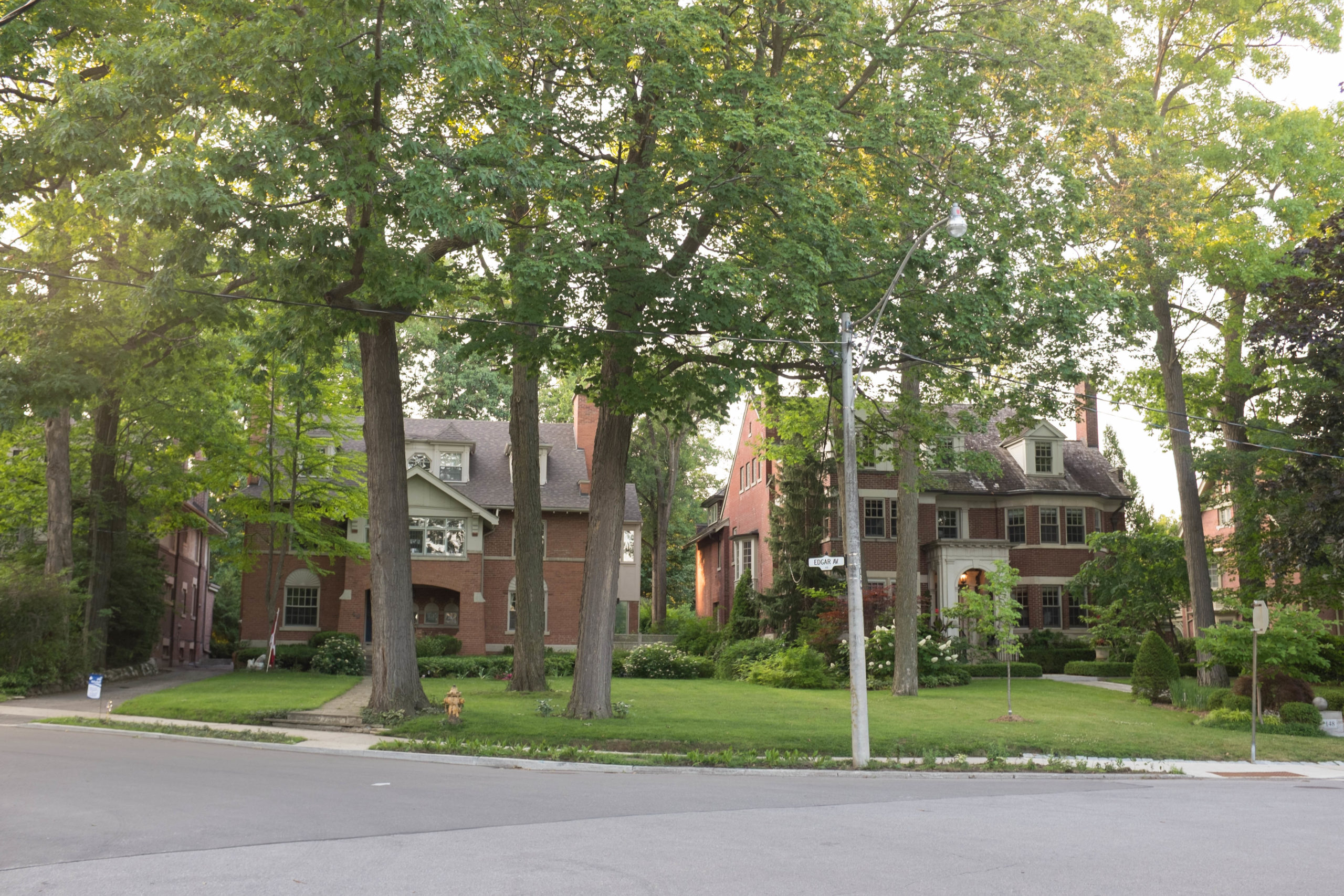
Bijoux pied-a-terre