Pandemic walk heat maps

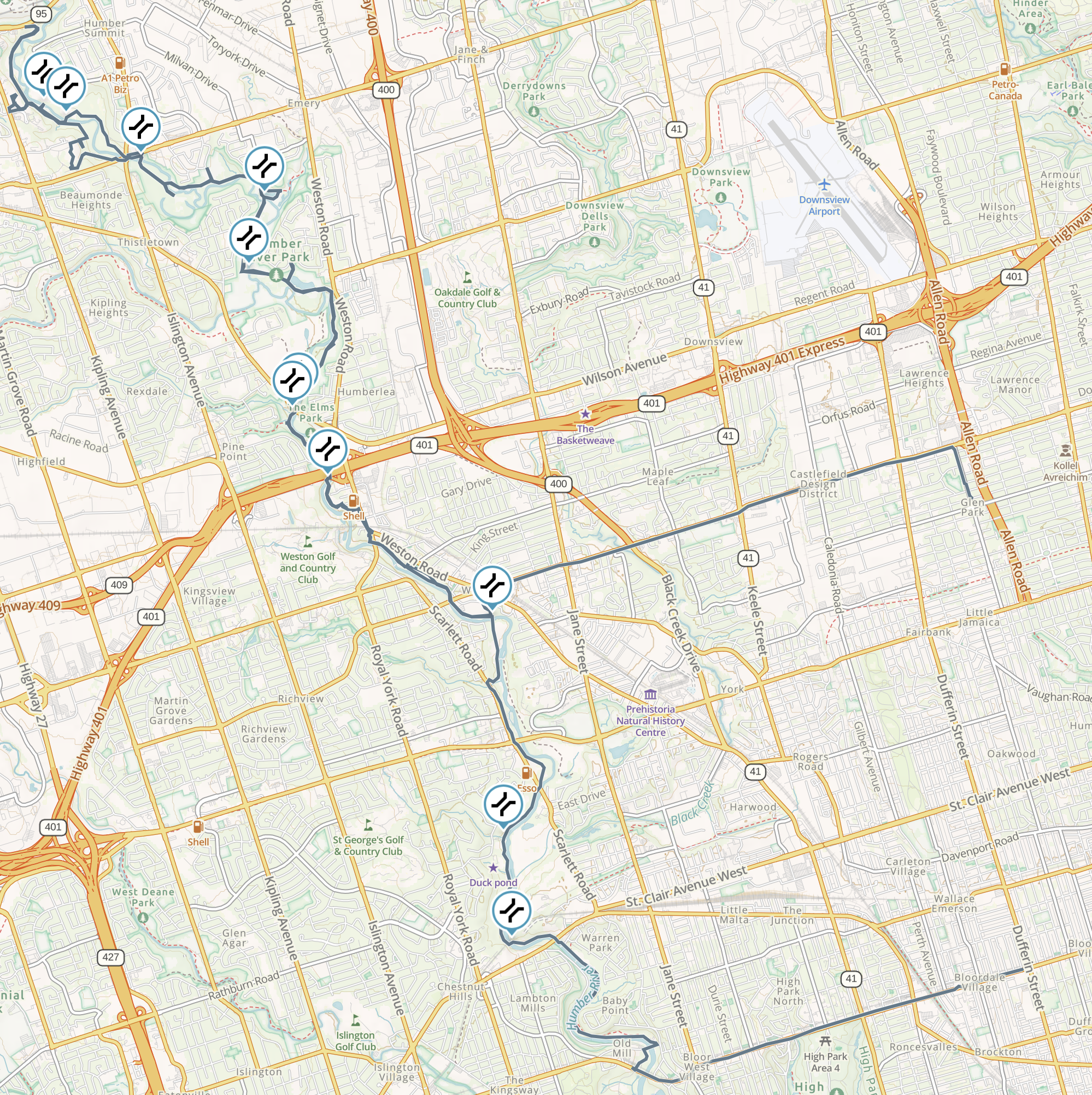
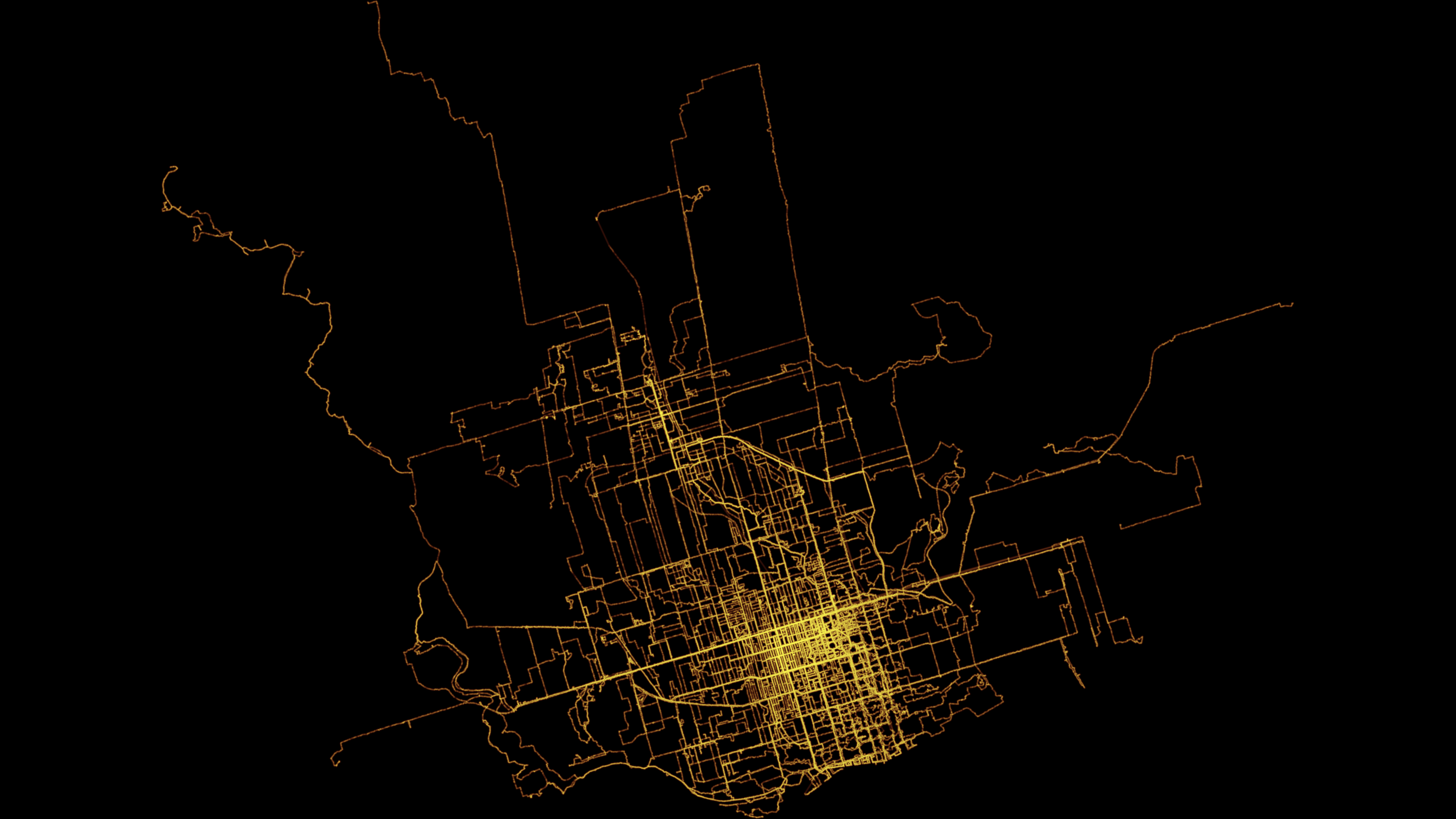
As part of playing around with my GPS data from my exercise walks since I wanted to make a heat map showing the likelihood of being in any particular place.

Here’s one I made using Seth Golub’s heatmap.py Python script (radius 5, decay 0.75):

I also made one in QGIS. First I converted the tracks to a set of points in a CSV file. Then I created a spatial index of the point layer, created a hexagonal grid of polygons of a sensible size, and counted the number of points in each. Then I rendered that as brighter or darker hexagons:

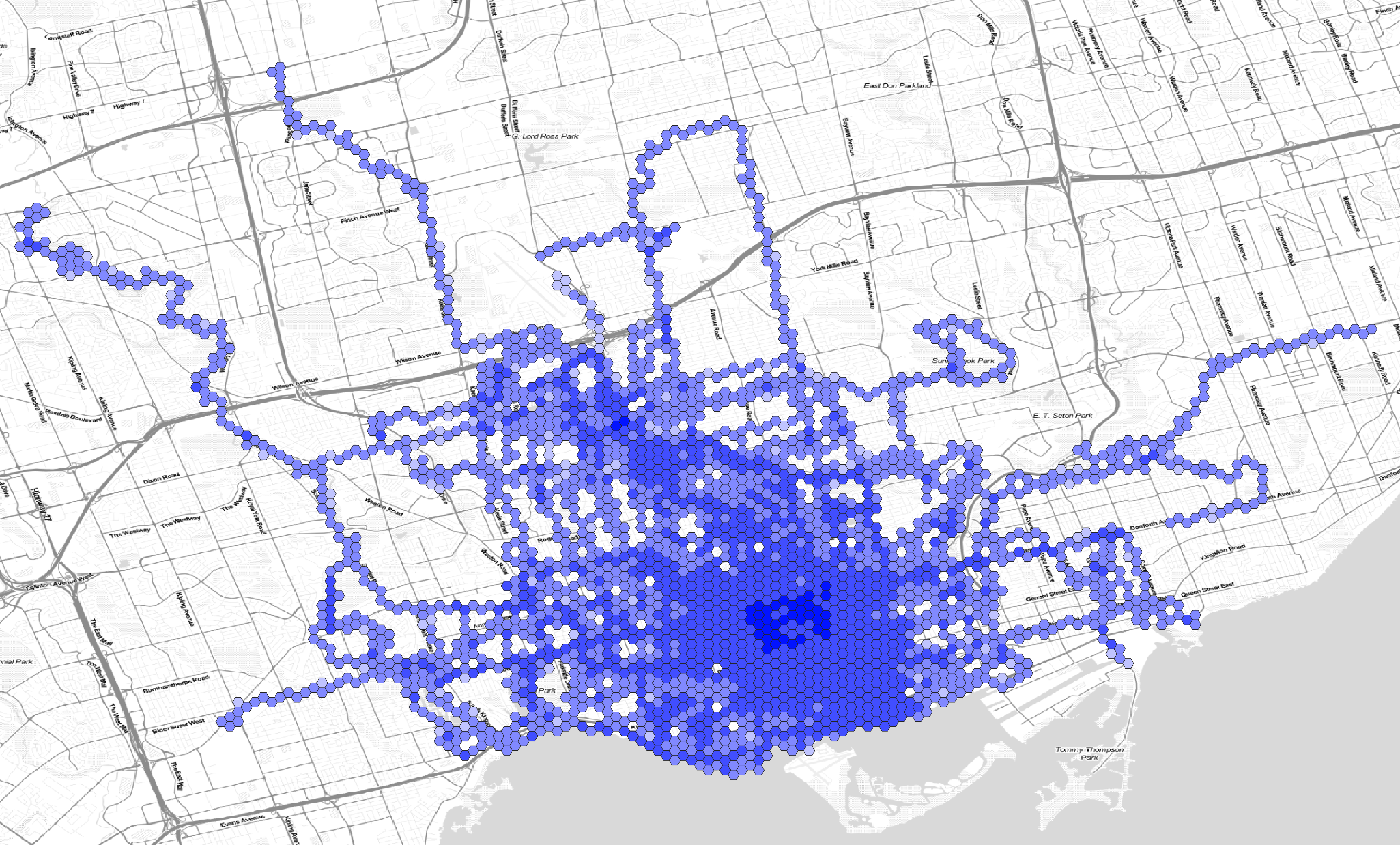
Here are the hexagons semi-transparent and rendered on a faux watercolour of the Toronto area:

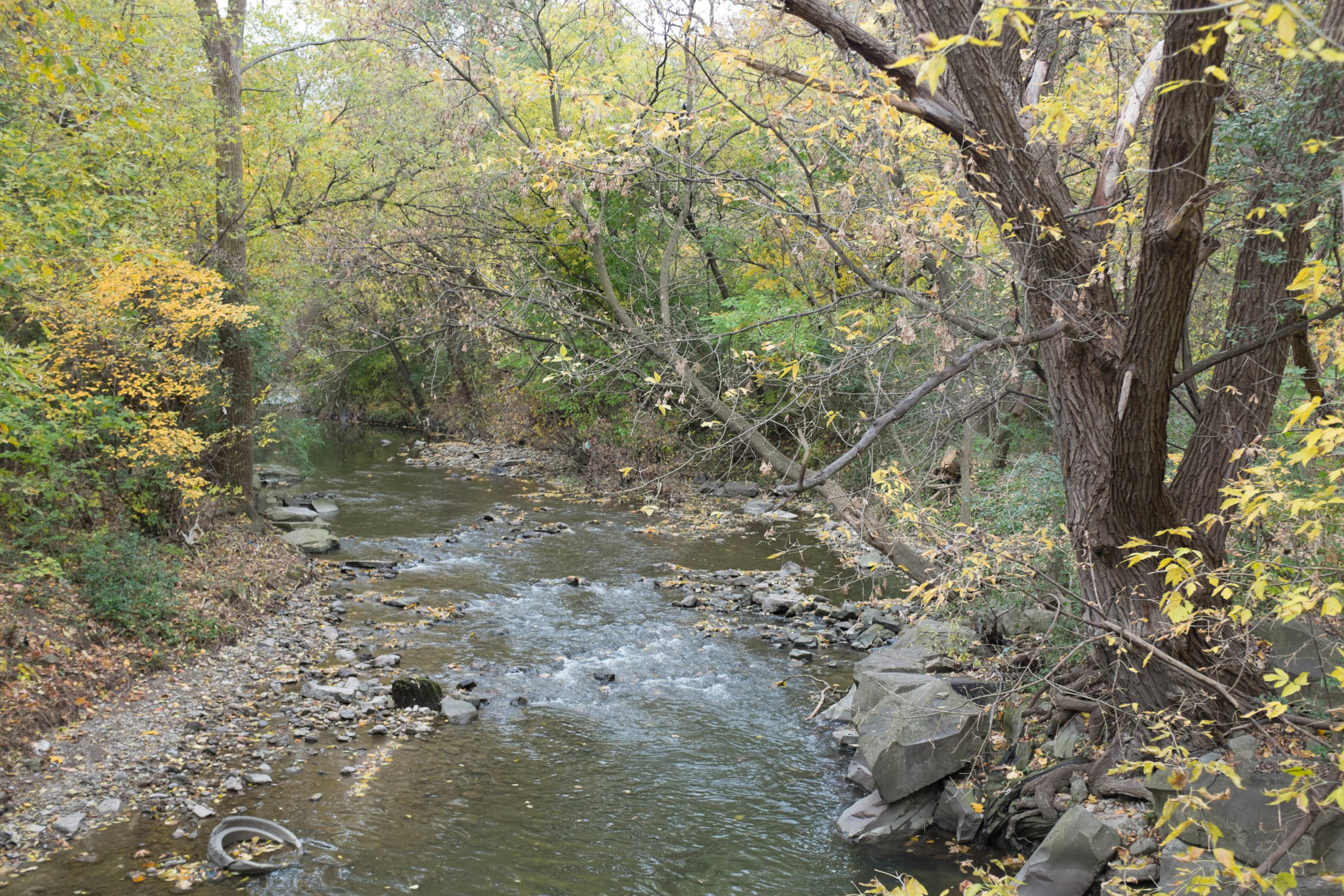
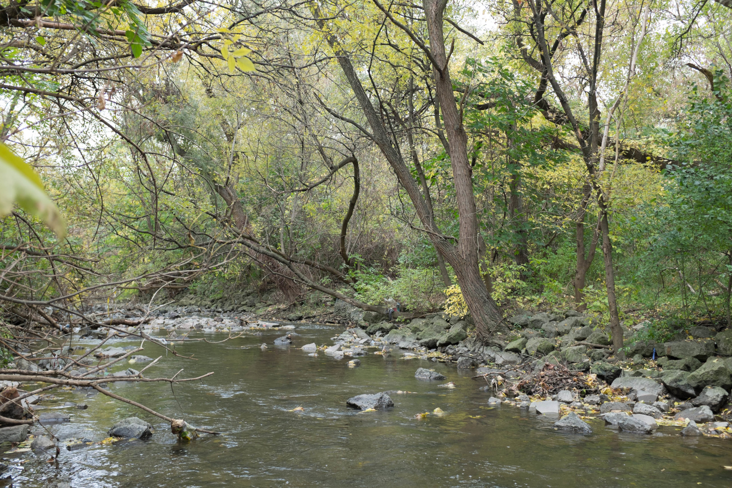
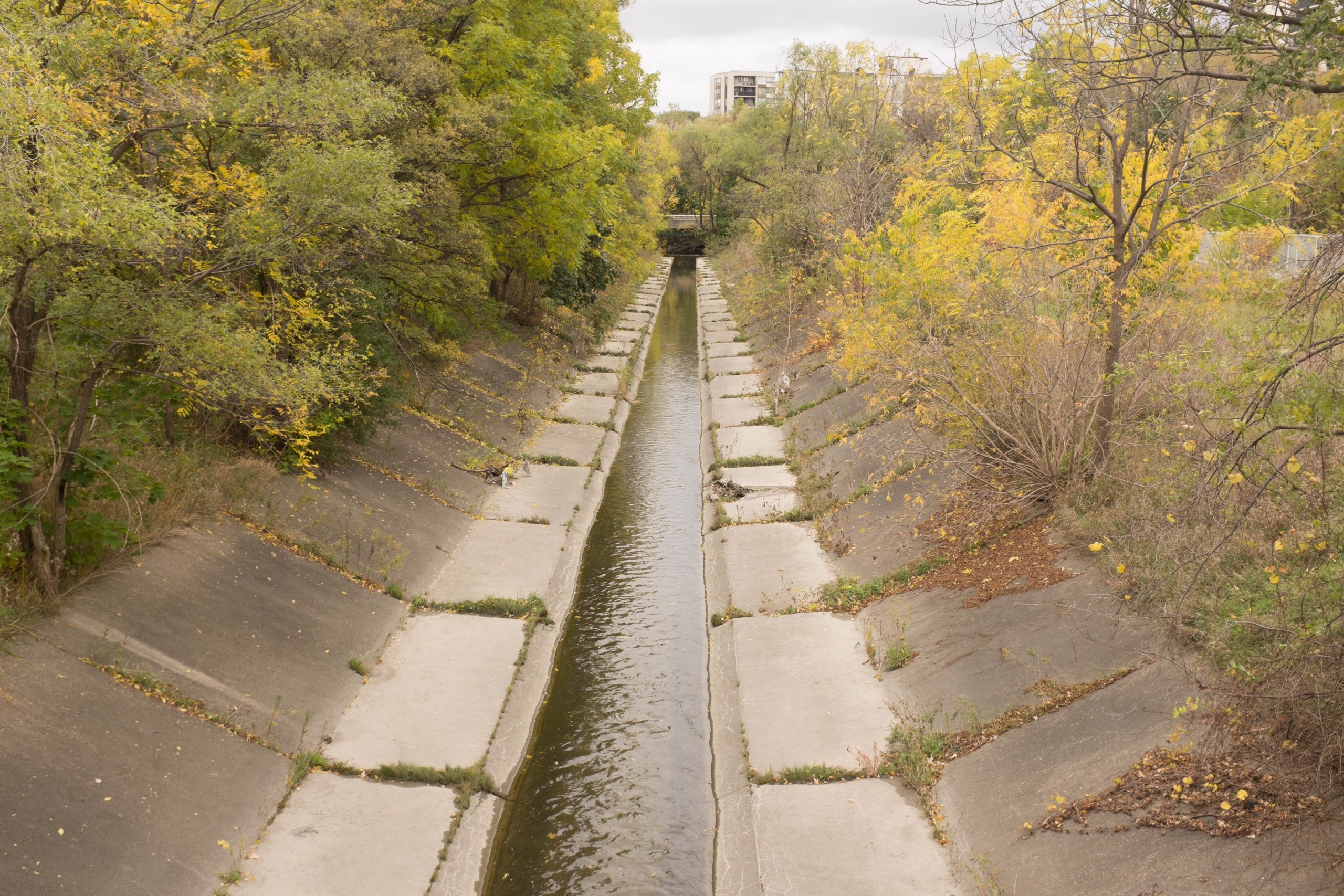
The walks have sometimes been lonely and sometimes been scary, but they have been the main thing getting me out of the house and providing exercise during the pandemic. They do make me feel like I have a broader understanding of the city, though walking through a neighbourhood at night with headphones on only gives you a certain kind of perception.

Night hike

At 9pm yesterday, I decided that I couldn’t focus enough for thesis work and to take a walk. My friend Tristan had recently plotted out some hiking routes on my computer, including one up the Don Valley from Old Mill station, crossing over east near Sheppard, then north up the Black Creek trail.

I wanted to see how accessible the start point is from my new place by foot, and then when I got there I decided to try the up-river segment. I got to Sheppard and carried on upriver, past Finch and ultimately as far as Thackeray Park. When I got to a fence blocking further progress, I saw that I had gone 24 km. I hadn’t been particularly planning anything, including a long walk, and I didn’t have any food or water with me or anywhere to buy them in the Humber Valley, but I felt fresh and like I could do the same distance again. So I decided to redo the river path south to where I entered the valley, then continue south to Old Mill station. After figuring that getting to Old Mill would put me around 43-4 km of walking, I decided that if my feet felt up to it then I would walk enough along the Bloor subway line to push it past 50 km:

This ended up being my longest walk of the pandemic so far, but it was around 7 ˚C and dark and I felt comfortable in just a puffer and wool buff and never thirsty. I also saw virtually nobody on the path until I started to see exercise keeners after 6:30 – 7:00am. I don’t think I saw anybody on foot or close by between entering the valley and reaching the scenic view of the railway bridge just north of Dundas Street West.

The whole route is marked by deep forest on either side (by Toronto standards), some magnificent willows along the riverfront just north of Lawrence Avenues, and a whole series of pedestrian bridges big and small used to cross the river while following the path.

Disallowing rent changes between tenants in Ontario

Along with fellow NDP MPP Bhutila Karpoche, my former Member of the Provincial Parliament Jessica Bell is proposing a Rent Stabilization Act, which would stop landlords from raising rents between tenants. It would also establish a rent registry with the Landlord and Tenant Board.

If passed, the law would help rationalize the incentives faced by landlords, who at present can accept the ~2% per year rent increases set by the province with existing tenants or who can try to get rid of their tenants to reset the rent at a much higher level. Making it more profitable to cycle through tenants than to retain them also contributes to landlords wanting informal tenants rather than tenants on a formal lease, since only the former have protection from the Landlord and Tenant Board.

With the present provincial legislature comprised of 70 Progressive Conservatives under Doug Ford, 40 NDP MPPs, plus seven Liberals and some minor parties there isn’t a realistic hope of the proposal becoming law.